


St Mark's Churchyard, Amcotts, Amcotts, Lincolnshire, England
PLEASE NOTE! We are not affiliated with this cemetery. We cannot do name lookups, fix headstones, buy/sell gravesites, do graveside services, enforce cemetery rules, etc. Click on the pin in the map to get driving directions from Google Maps.
Click on the pin in the map for additional information. Click on the link within the balloon or on the pin before the Latitude and Longitude below to get directions.
Notes:
https://www.findagrave.com/cemetery/2477608/st-marks-church
Amcotts
From Wikipedia, the free encyclopedia
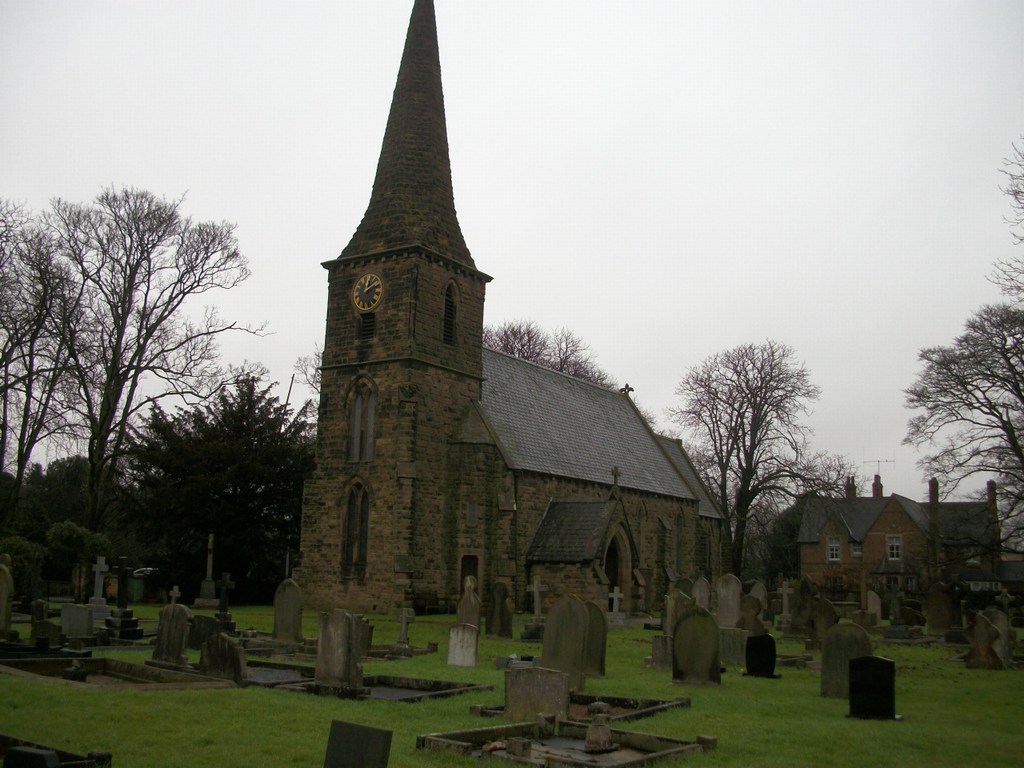
St Mark's church, Amcotts
Amcotts is a village and civil parish in the North Lincolnshire district of Lincolnshire, England, on the Isle of Axholme. It is situated on the River Trent, near Scunthorpe, and faces Flixborough on the eastern bank of the river. The 2001 census recorded a population of 219 for the parish.[1]
History
Formerly a township of Althorpe parish, Amcotts was created a civil parish in 1866 and enlarged in 1885 by gaining part of neighbouring Luddington.[2][3]
Amcotts was listed in Domesday Book of 1086 when it consisted of eight households.[4]
A chantry chapel was founded in the mid 15th century by Geoffrey Crowle and William Amcotts.[5]
Amcotts Grade II listed Anglican parish church is dedicated to St Mark, and was built in 1853 to replace an earlier church dedicated to St Thomas A Becket which fell down in 1849.[2][6]
Amcotts CE School was built in 1860 as a National School, which closed in 1961.[7]
In 1974 properties in the village suffered significant damage due to the Flixborough disaster.[citation needed